onsite rapid and precise scanning
CAD and BIM as-built plans from laser scanning.
Our Process
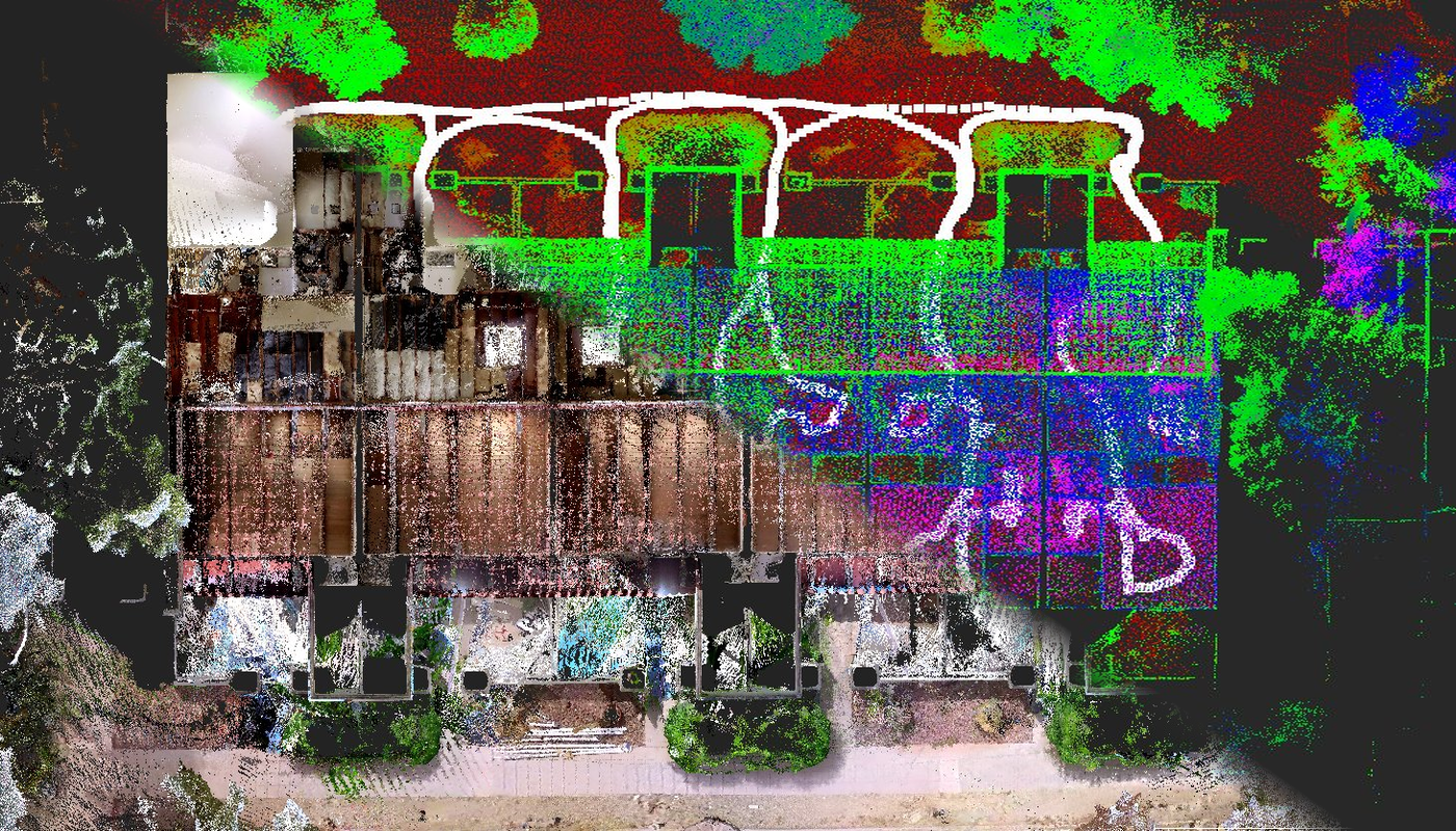
By walking the site we can create a registered point cloud of the building.
It starts with the scanning process
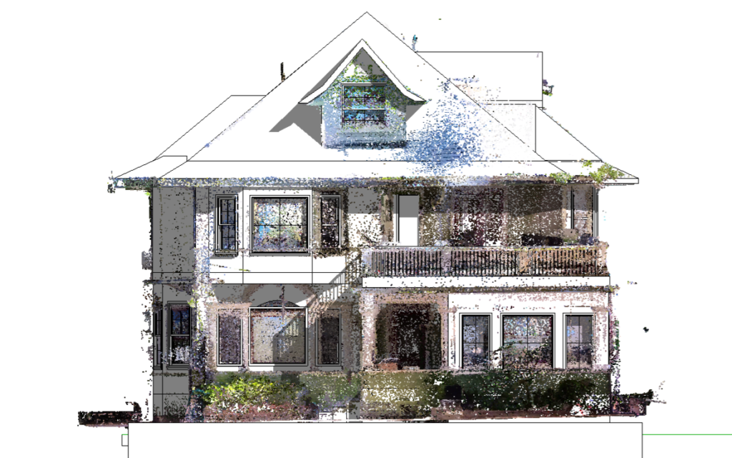
On site scanning is as easy as walking around the site and whatever can be gathered is captured in Lidar 3D scanning and color photos. You can link these walking scans to produce a point cloud. This point cloud is used to produce everything from Floor Plans – Interior elevations
Software makes the scans come to work for you.
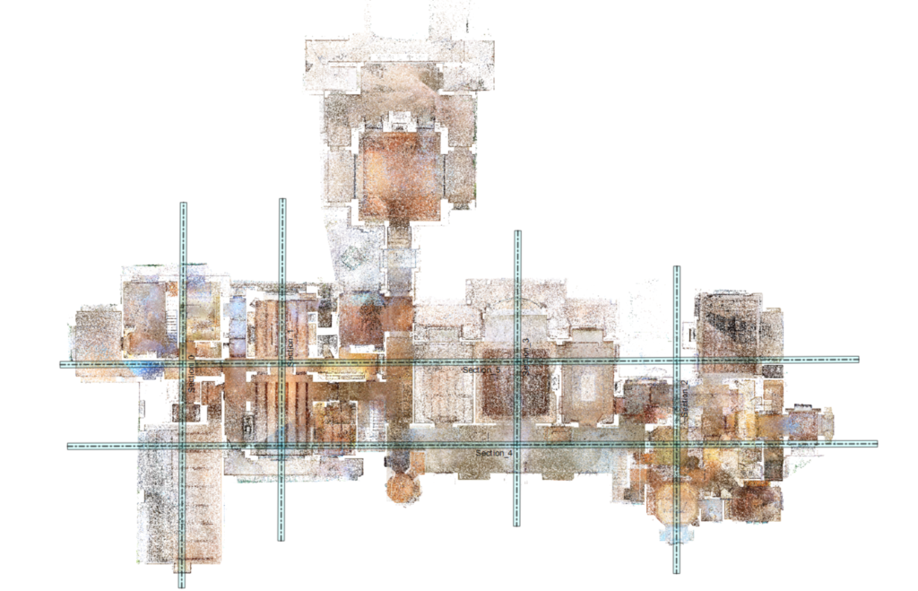
Once the scanning is completed it can registered and placed into specialty software and used to draw the various interior and sections views. Other software is used to create a floor plan.
Scan to Bim
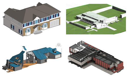
For years, converting a point cloud — millions of colorized, laser-captured data points — into an accurate 3D model required enterprise-grade software licenses that cost tens of thousands of dollars annually. That barrier kept scan-to-BIM work firmly in the hands of large firms with deep pockets.
That’s no longer the case. In 2026, a wave of affordable and open-source tools has made the full scan-to-BIM pipeline accessible to small teams, independent surveyors, and forward-thinking AEC firms. At Base Built Services, we’ve built our workflow around this new generation of tooling — and the results speak for themselves.